The bus from Salta to San Antonio de los Cobres is as beaten up and dusty as you’d expect a bus travelling along beaten-up and dusty roads to be. My bike’s safely stowed underneath. The driver seems very obliging when I’m loading my gear, particularly after I pay him the “fee” he asks for when I tell him I have a bike. This fee (which I pay on other buses too – it’s an organised racket) is around a third of the cost of the fare; money well spent when I think of the time this is going to save me. The journey’s comfortable enough, and four hours after leaving the oasis of Salta we’re deposited in San Antonio, the last town of any significance this side of the Chilean border.
San Antonio has a frontier feel about it. It has a church and a shop, and some tourists even come here to go on the “Train to the Clouds” (think Settle to Carlisle but with less ee-by-gum), but there’s not much else going on. Perhaps the most interesting thing about the place is that the groundwater is contaminated with arsenic, as a result of which the local population has developed a natural tolerance to arsenic levels that would poison the rest of us. But for me, this is the furthest west I can get by public transport, and my interest in the place begins and ends with a visit to the petrol station for fuel, and a local shop for chocolate and water. I make no enquiries about the availability of arsenic.
From here, it’s going to be a four-day ride to Tolar Grande where I can restock on food and water. And from there, another four days to Llullaillaco, a 6,739m mountain I’m looking to climb, having failed to summit from the Chilean side in 2014.
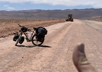
I’ve been told by local guides to take plenty of water, as there’s very little available on the road. So I’m carrying four litres in various bottles mounted on my frame, and another eight litres in a water bag stowed at the back. This should be good for the first few days. I’ve a further 10 days’ food (largely instant noodles, porridge, chocolates and tins of tuna) tucked away in various nooks and crannies, as I doubt there’ll be many shops where I’m going. The bike’s weighing over 70kg at the moment and it’s a bit of a handful. With the slightest encouragement, it’s going to launch itself and me into the nearest ditch, so I’ll need to take extra care.
Falling off the bike is a normal part of my day and has become routine. Usually the result of riding into sand, drifting off the side of the road into sand or looking over my shoulder at something interesting before hitting the sand. Crosswinds are also a very useful way of losing control, shortly before ending up in the sand. Fortunately these mishaps tend to happen at low speed – one advantage of cycling at my current pace.
From San Antonio the roads are gravel, so I’ll not see another paved road until I get to Antofagasta de la Sierra in three-weeks’ time. While I secretly fantasise about a good gravel road, I consign those thoughts to a part of my brain where the pixies live, as roads are a source of constant disappointment. Just occasionally I might get a smooth bit, for example crossing a salt flat. The rest of the time it’s just bumpety-bump, with the speedo stubbornly stuck at around 4-6 mph, even on the downhill sections. There’s a lot to be said for using fatter tyres on this type of road (3.0 inches or more), although frame design, susceptibility to punctures and a higher rolling resistance on tarmac put a limit on how far you should go. At 2.6 inches (66mm), my tyres are a compromise between what I need now, and what I’ll need later when I’m back on metalled roads.
I deflate the tyres to 0.7 bar to give the wheels traction on the sand, but it’s hard going. Once the westerlies pick up, and the road starts to climb, I’m having to get off the bike more and more to haul its dead weight up the hill using handlebars and saddle. Fortunately one of the 4×4 drivers takes pity on me halfway up the road to the pass, and drops me off 10km further on where there are houses being built for the railway workers. They’re not finished yet, but I’m not one to look a gift-llama in the mouth and go into the first house I find. I make myself comfortable in the only room with windows, and boil a bag of the finest instant noodles. What luxury!
The next day starts with a gentle, if freezing-cold, descent down to Olacapato. There’s not much here apart from water and a gazillion solar panels, so I continue west on Ruta Nacional 51 before turning southwest on the Ruta Provincial 27. I’m delighted to discover they’re in the middle of a road-improvement project and, for the next 7-8km or so, I’m in pixie-land. As I pass, I wave vigorously at the men driving their graders and rollers, sensing a connection only cyclists and operators of heavy road-machinery can feel. But it’s soon over and I’m looking for somewhere to camp, out of sight from the road, behind the railway line. I’m not too concerned about my safety, as there’s not much traffic and it’s mostly mining vehicles, but a bit of privacy is nice. Being out of the wind is a bonus too.
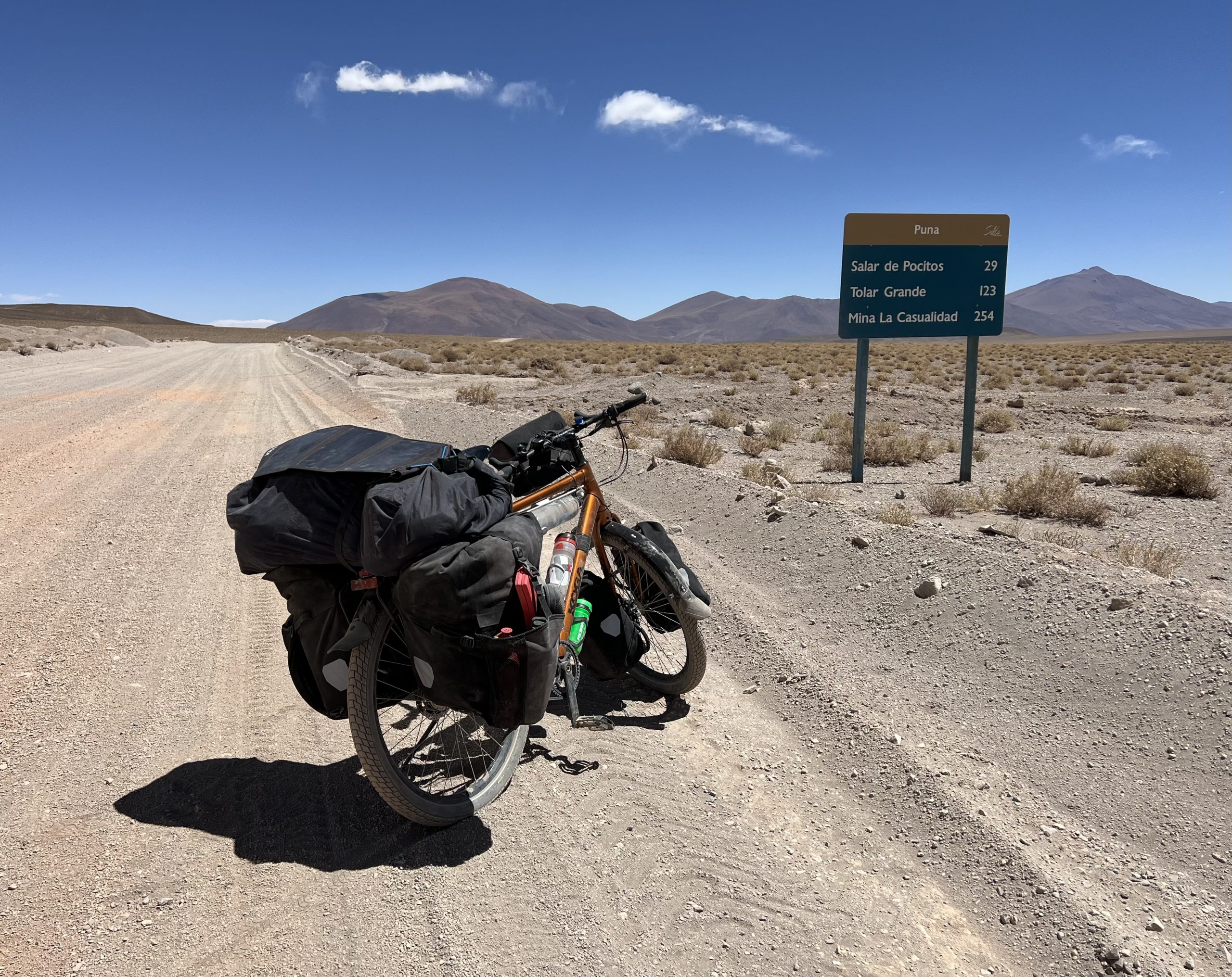
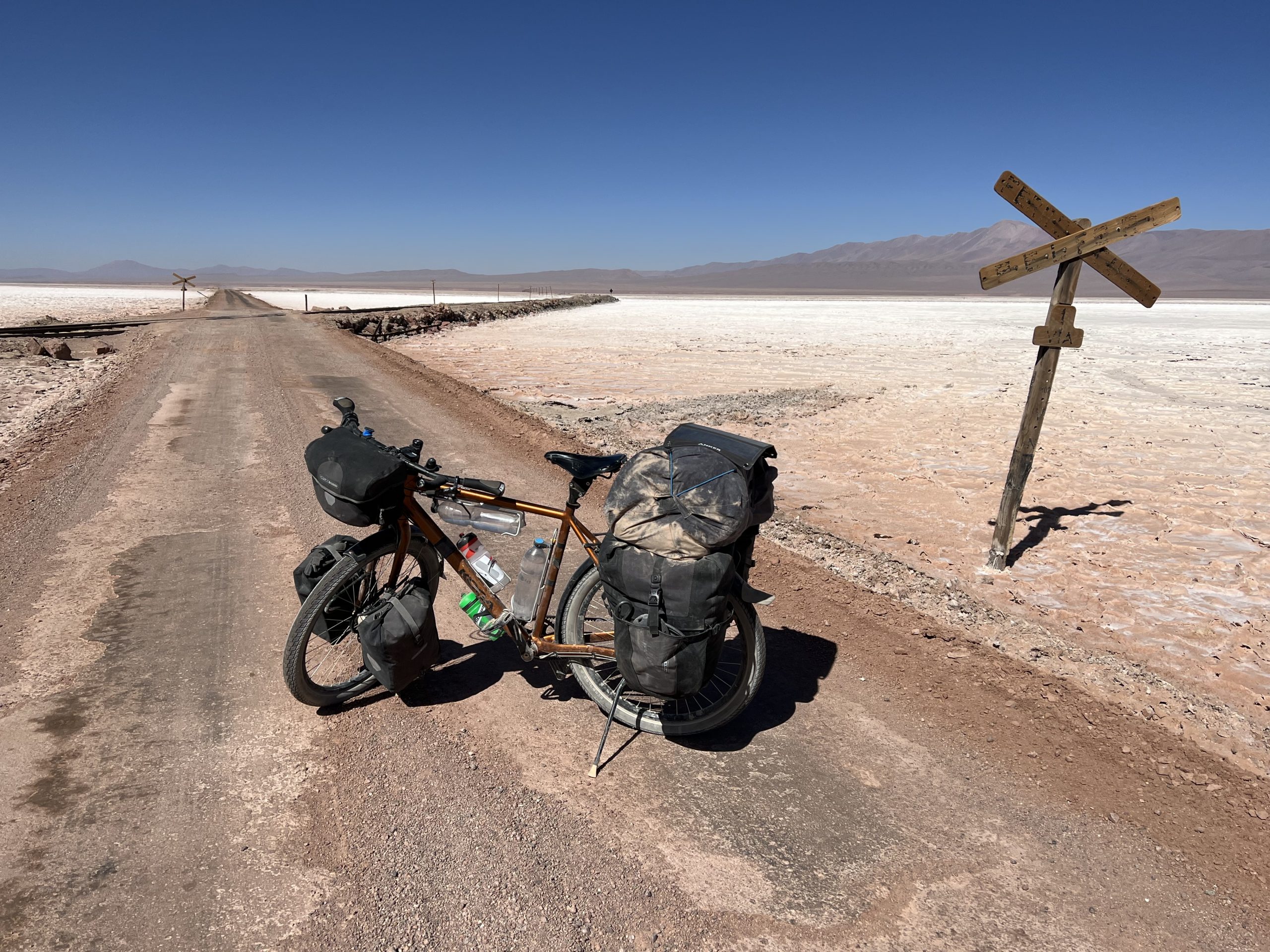
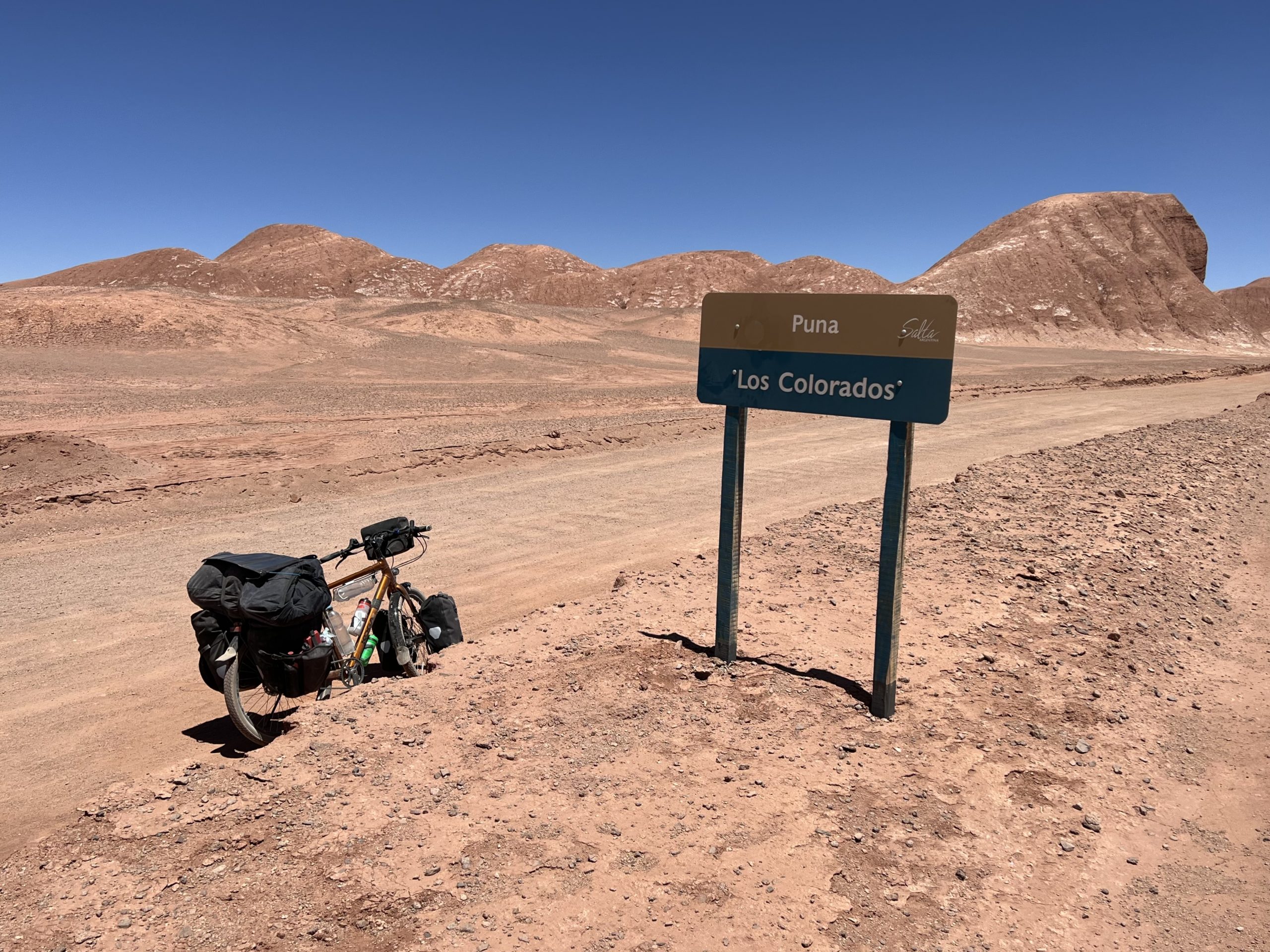
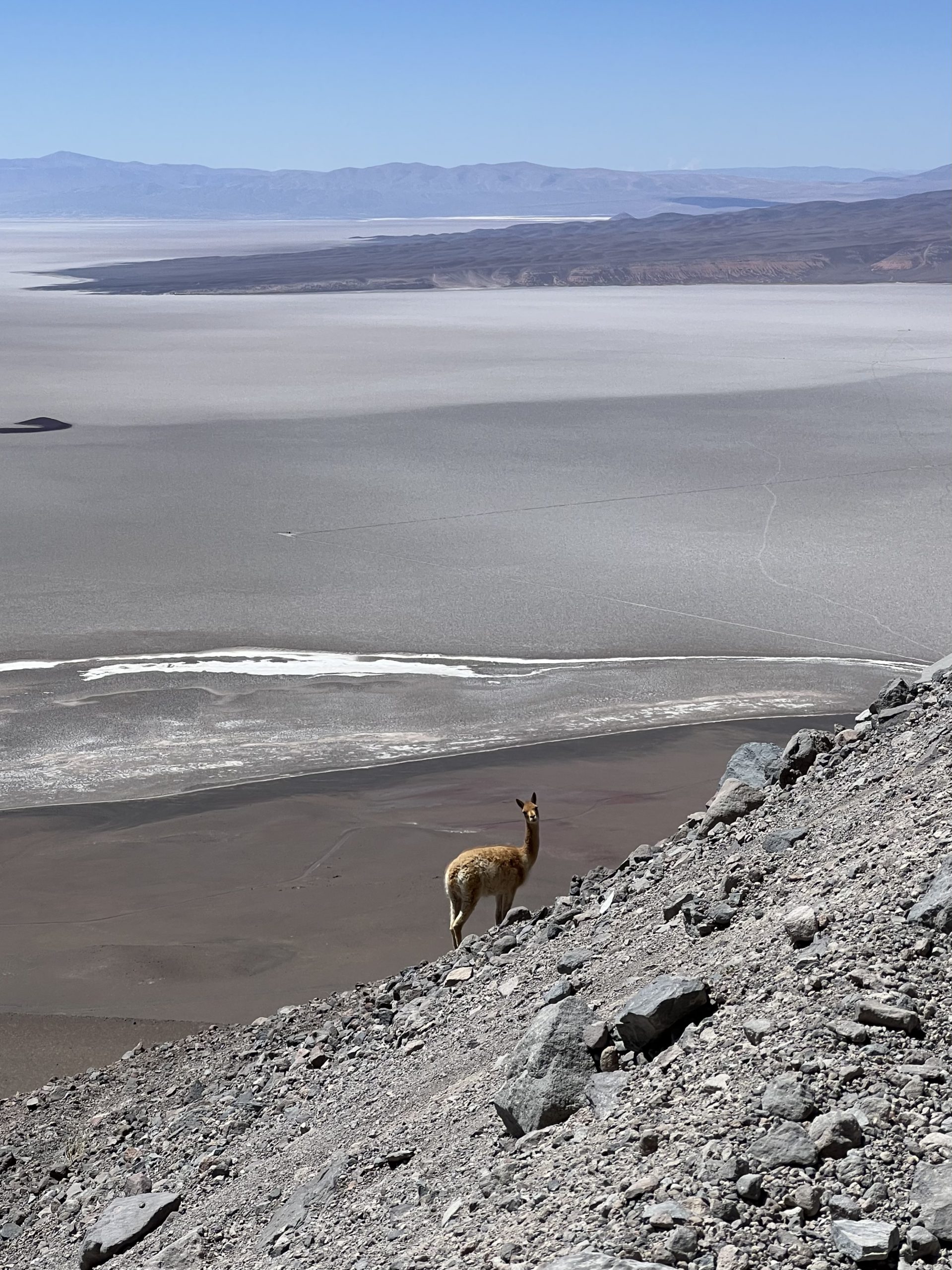
As usual, I’m up shortly after the sun at 6.45am, and packed and ready to go two hours later. It’s a gentle climb followed by a long descent to the Salar de Pocitos. There’s a town here with a gas plant and more solar panels. It’s got a station too, as the old railway line to Chile crosses the main road, before choosing its own path across the salt flat and up into the hills off to the west, where it can gain height at its leisure. Our paths won’t cross again until Tolar Grande, as the road heads for the hills further south. On the other side of the flat the road’s corrugated at first and then sandy, but I’m soon climbing up and over a low pass to the Los Colorados area. At this point the scenery goes all “spaghetti western” with its red pinnacles of rock carved by the wind into weird and wonderful shapes. There are vicunas grazing on shreds of vegetation in areas where water makes its way to the surface. There are Andean foxes too. They look reasonably well fed, presumably living off small, furry creatures that live underground and pop their heads above the surface for long enough to be grabbed. It’s a precarious existence out here in the Argentinian Puna.
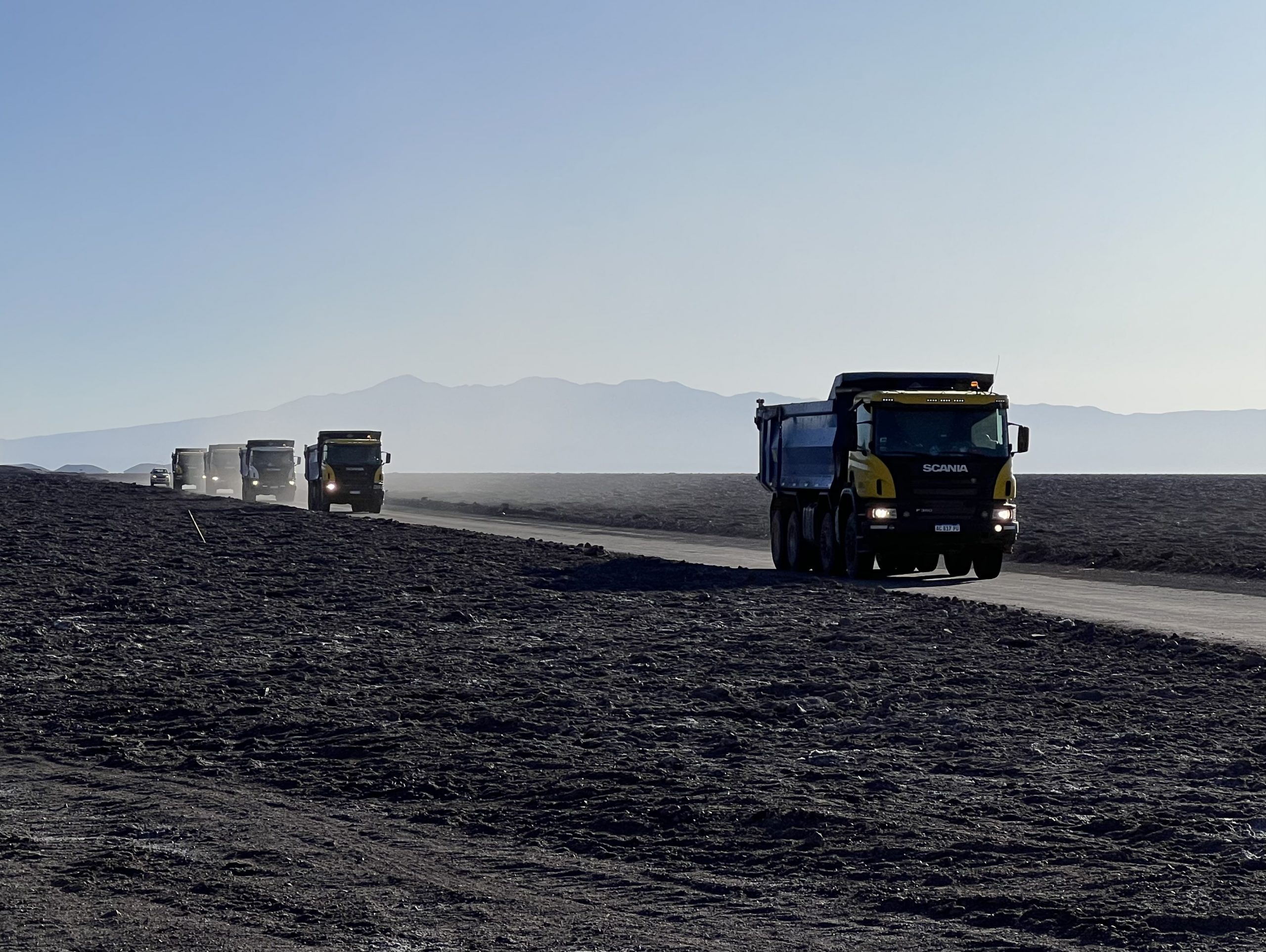
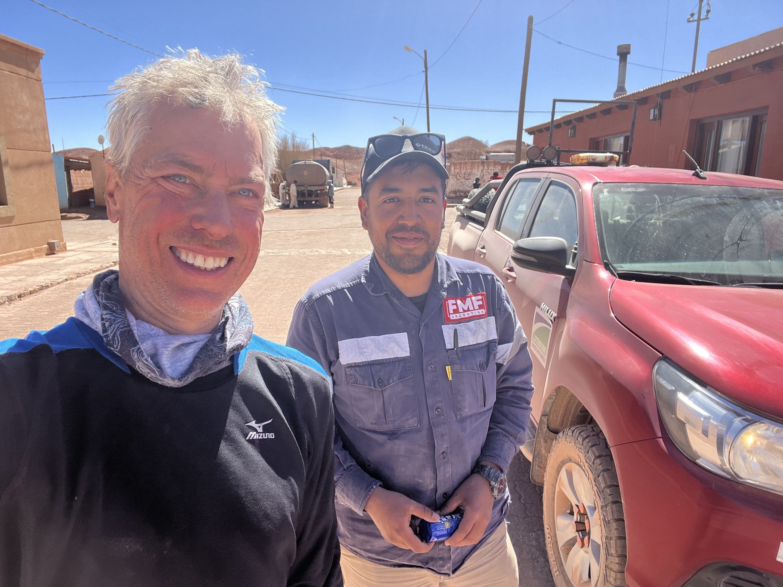
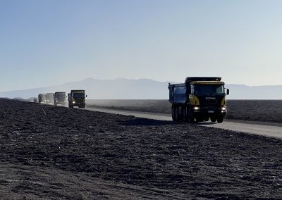
On the question of water. From San Antonio to the salt flats way south of Tolar Grande there’s a stream of traffic. The stream is made up of Toyota Hilux 4x4s (exclusively) plus a variety of trucks carrying plant, machinery, fuel and the like. These vehicles have two functions: first, to dig enough lithium and other precious metals from the ground to feed the world’s supply of batteries, and second, to ensure that any cyclists crazy enough to be in Earth’s second driest desert have a plentiful supply of water. As I’ve not seen any other adventure-cyclists this side of Bolivia, the resources committed to this second function are commendable. Joking aside, while the dust from the traffic will be lodged in my crevices for the next five years, the offers of water, encouragement, toots, thumbs up, smiling, waving and general concern about my welfare from these drivers has been a source of much gratitude, and will be one of the abiding memories of this trip.
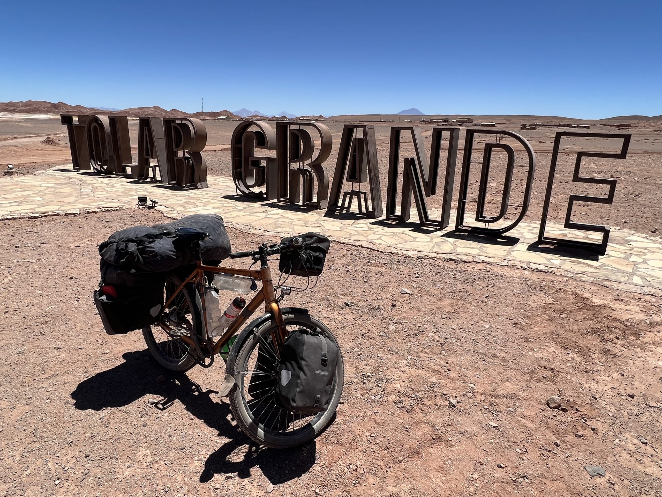
From Los Colorados, it’s a dusty day and a half to Tolar Grande, via colourful lakes and a 4,000m pass. Tolar Grande is a bit of a soulless place, although it does have a 3G mast and some nice salt-pools just up the road (the Ojos de Mar). There are six or seven hostels here, but only a couple of them are open. The “nice” hotel will let you have one night’s accommodation, if you’re lucky, even though the hotel appears to be empty most of the time. The other places are full of miners (nothing wrong with that, but they’re nocturnal creatures which is a bit odd). The only place in town serving food will give you a blank stare when you knock on the door and ask for grub, even on the seventh visit. It’s not a place for warm and fuzzy welcomes, if that’s what you’re after. I think the town originally had plans to be a tourist centre of some sort but they never took off… but did I mention the fact it has 3G!
From Tolar Grande the cycling gets even more exciting, as the road crosses the Salar de Arizaro (Argentina’s second largest salt lake) before heading up into the mountains close to the border. At this point, the traffic thins out dramatically, with most of the vehicles sticking to the road on the edge of the lake, heading for the mines at its southern end. The road to Chile rises above the Salar in a fairly organised, if lung-busting, fashion, criss-crossing with the railway as it goes. Further on, the wind is picking up and a truck driver stops and asks me if I’m ok. I’m fine thanks, I say, in something resembling Spanish. I’m enjoying the fact there are still some vehicles on the road. There will be no traffic at all when I leave this road at Laguna Socompa and continue my journey on the mountain tracks.
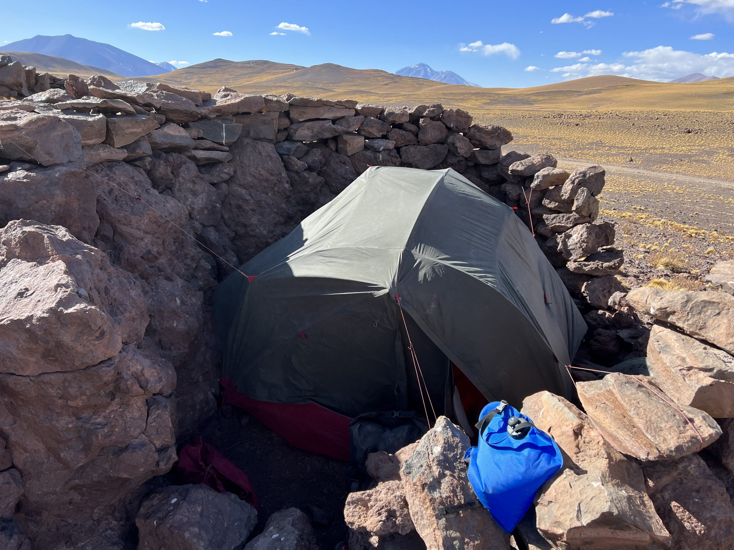
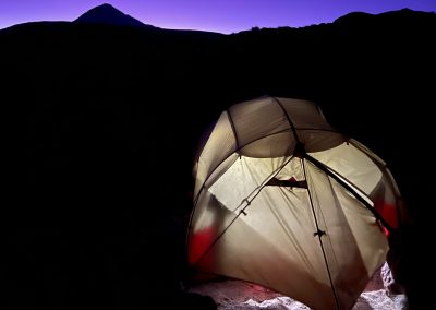
As the forecast for the next couple of days is windy, I batten the hatches of my tent with the help of an animal enclosure the first night and a large rock the next. It’s a steady climb now up to base camp at 4,600m. Progress is slow for all the usual reasons (sand, wind, altitude, age) but I know it’s just a matter of grinding out the miles. I have to remind myself this is just the hors d’oeuvre. The main course will be later when I hit the mountain slopes proper. The good news is I’m expecting the winds to drop by Friday, although on Thursday morning (when I’m supposed to be locking the bike and leaving for high camp), the tent is being buffeted by high winds. It takes some resolve, and faith in www.mountain-forecast.com, to pack up for the six-hour trudge up to the next camp at 5,850m.
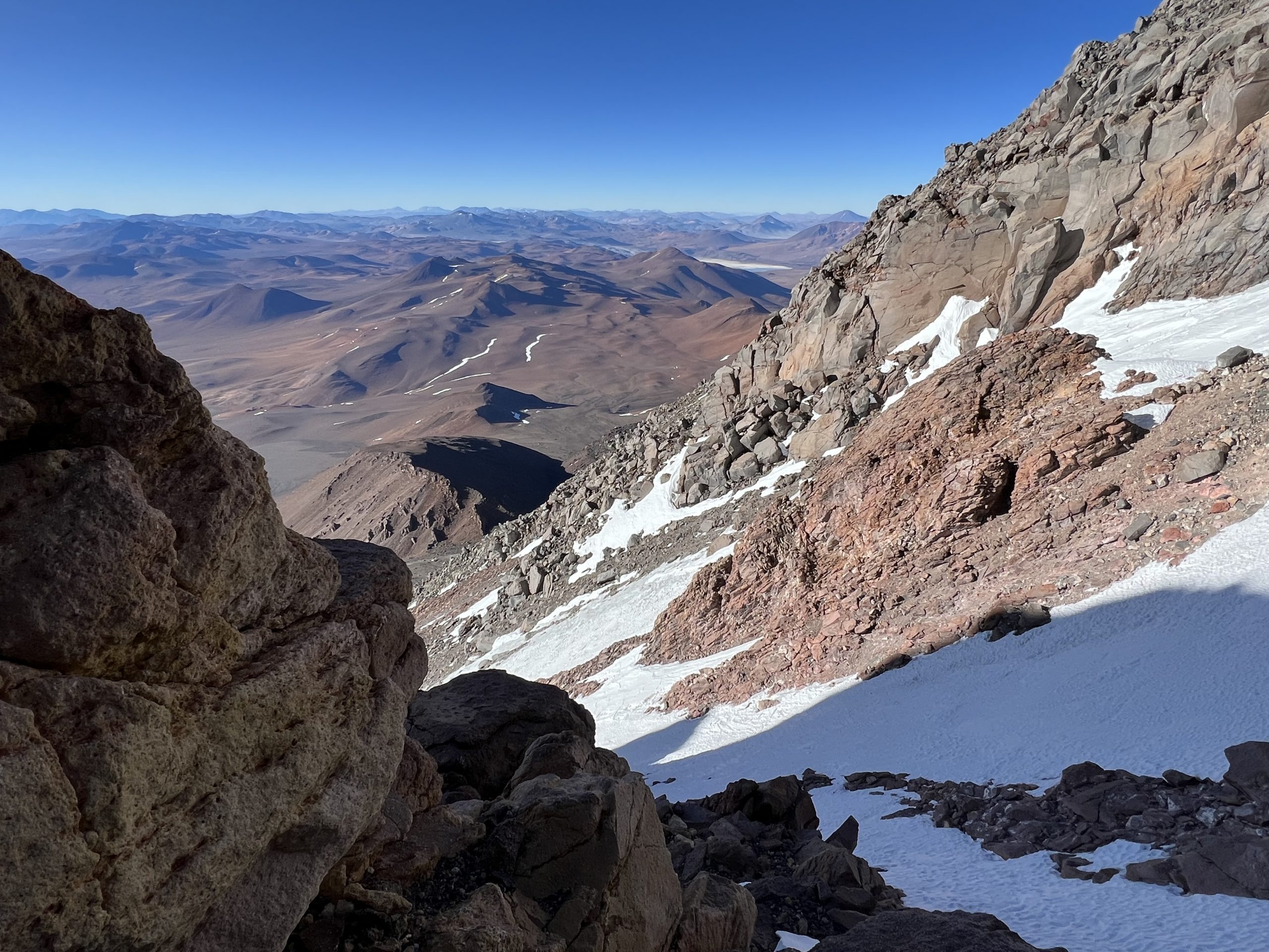
This is probably the highest place I’ve ever camped, but the platform for my tent is relatively flat and protected with plenty of belay-points. The wind has dropped, which is nice, although not completely. There’s little chance of sleep, so I make myself comfortable, wearing my climbing gear (including inner boots) and putting the water bottles in my sleeping bag. I don’t want them freezing overnight. I’m up at 1.45am for breakfast, but the water takes an age to boil, and I’m not able to leave until 3.00am. I have a vague idea where I’m heading, and which gully to go up, but choosing the right path in the dark is a challenge. To start with, I’m following an upward traverse to the place where the path is marked on my Garmin Explore App. I then head directly up, mostly sticking to the rocky sections on the right side of the gully, avoiding the scree. It’s steeper that way but easier than the two steps up, one step back, approach on the loose stuff. It’s 6am, and starting to get light, when I reach the bottom of the snow slope and put on my crampons. This makes things a bit easier and, after a bit of scrambling over slippery rocks, I’m up to the summit ridge shortly after 8am.
I’m not about to break any land-speed records, and am in no particular hurry, so the final 200m of climbing takes another 90 minutes. As the wind has picked up and dropped again, I’m thinking about what the drone shots will look like from the top, forgetting entirely about the Inca ruins just below the summit I’d been planning on checking out (doh!). I catch a fleeting glimpse of them on the drone footage when I’m uploading it to my camera later. Never mind: the aerial shots turn out to be excellent, including my little dance on the summit. Dronio’s been a revelation, flying almost 3,000m higher than he’s supposed to. The punters at home are enjoying the quality of the videos by all accounts. So pleased I brought him with me, even if, at the time, it seemed a bit of an extravagance.
The summit box is made of cast iron and is full of notes, bits of memorabilia and other “stuff”. I’m not familiar with summit protocol, so neither add to nor remove anything, apart from leaving my signature in the signature book. I don’t see any other signatures within the last 12 months, although not everyone signs of course. Today I’m by myself, that’s for sure!
45 minutes later, I’m working my way down again, taking lots of care on the snow/ice as it’s been a while since I’ve done this sort of thing (and I’m by myself of course). After the gully, the scree’s a bit of a mare. I slip 10-15 times on this section despite, my best efforts. I’m not particularly tired, it’s just very tricky under foot. I arrive back at the tent just before 3pm. It’s borderline as to whether I have time to pack up and head all the way down to the bike. I climb into the tent to lie down while I think about it, and doze until the decision’s made for me. Probably the wrong one, given the cold and lack of sleep.
The next day I’m up and packed, bright and early. The descent is long and uneventful, apart from the fact I’ve no landmarks to aim for and don’t really remember where I left the bike! Fortunately, I’d planned for this by leaving a pin in the map. Just as well, as my instincts prove to be woefully poor – I’m a good km off course by the time I check halfway down. Reunited, I’m back in cycling mode, looking forward to a long descent with a following wind.
The return to Tolar Grande turns out to be more interesting than expected, as I manage to lose one of my water bottles packing up my gear (operator error – I forget to do up the rubber strap that holds the bottle on). I still have plenty of water. Enough to get me back to the main road coming down from Paso Socompa at least, but not a lot spare for the 600m climb taking me back over to where the mining vehicles start to appear again. Assuming I get to that point, the plan is to hitch back, as this will save me one of the days I’ve lost with my detour via Salta. What I don’t plan is to be trying for a lift on a Sunday. Predictably there’s no traffic at all and after, four hours’ cycling, I’m pretty parched. I haven’t seen any sign of water all day until I spot a couple of storage ponds just off the road. The green algae and sludge on the top suggest this is not intended for humans but whevs, I’m thirsty enough to drink anything. I get out my pump and iodine tablets, hoping I’ll be able to siphon out something that looks a little more appetising, when I hear the sound of tyres on gravel. It’s Luxiano, a driver for one of the mining companies, arriving in the nick of time in a (surprise, surprise!) Toyota Hilux. God really does have a sense of humour. As Luxiano’s on his way to Tolar Grande, he’s very happy to give me a lift, as well as all his water, snacks and lunch. For the next 2 hours I bathe in a sense of well-being…
As I mentioned before, I wouldn’t have chosen to cycle to Llullaillaco via San Antonio, and would have come over the Paso Socompa if I could. The road from San Antonio is a long and arduous journey – I had five days on the final stretch, and on the mountain, when I saw no-one at all, not a living thing. For most of the time I was reliant on snow, spit and sand for sustenance. The roads are poor, the weather windy (most of the time) and there’s a fair amount of climbing with heavy loads. That having been said, bagging this mountain was one of my primary goals for the trip and the climb turned into a great day out. It’s probably a sign of my age, but I have now “been there and done that”. I don’t need to prove anything by doing another multi-day off-road expedition to my next mountain. Unless I change my mind of course… 🤓
….on the question of solitude. I’m not a loner, but I don’t mind my own company. If you’ve spent time cycle-touring (or hiking) you’ll know that most of the day is taken up with packing, unpacking, cooking, washing, cycling, route-finding and the other stuff you need to do to get to your destination; the lack of company isn’t at the front of your mind much of the time. It’s also normal, when the sun goes down, to tuck up in your sleeping bag and sleep. There’s really not much time to be lonely even when you’re alone. Having said that, five days with literally no other human contact (apart from satellite texts via my Garmin) is a fair stretch, and the human mind does start to play strange tricks on you when there’s nothing else to listen to, apart from the wind.
Three examples come to mind: first, I can normally hear vehicles coming from some distance away. It tends to start with a hum that slowly gets louder. It’s quite distinctive. If I’m short of water, for example, this sound is something to listen out for as it can mean my journey is likely to becomes less uncomfortable. Unfortunately, I also hear this sound when there’s nobody coming, and can find myself frequently looking over my shoulder, expecting a car, only to see a wide expanse of nothing. Disappointing! Also, when I’ve finished cycling for the day, I can sometimes hear a low-level rumble which could be nothing, or an aircraft, or the sound of mining machinery, who knows? Most probably it’s my imagination. Second, in my tent (particularly at high camp) I had a constant sense I was not alone. It’s hard to describe, but the flapping of the fabric in the wind became a conversation, partly in my sleep, with words softly spoken – mostly reassuring though I am pleased to say. Third, and most curious as I’m wide awake, is the gravel effect. As my tyres move through the gravel, they crunch and squeak in a way that sounds like a group of people at some sort of social event, chatting away, albeit in a rather indistinct manner. It’s quite reassuring having a group of people chatting as I’m making my way back to the main road. It’s nice to have company, even if they’re talking gibberish and I know it’s all in my head.
That is enough craziness for one post. More to follow in a later one…
-

Sonrisas! My favourite biscuits
-
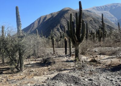
Wild West scenery on way to San Antonio
-
Free accommodation c/o the Road Crew
-
We like these guys!
-

Still a way to go
-
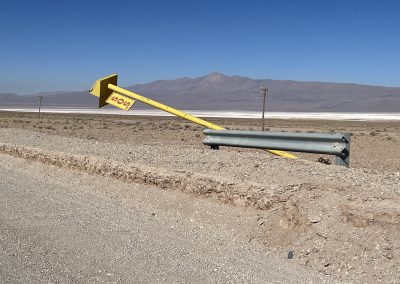
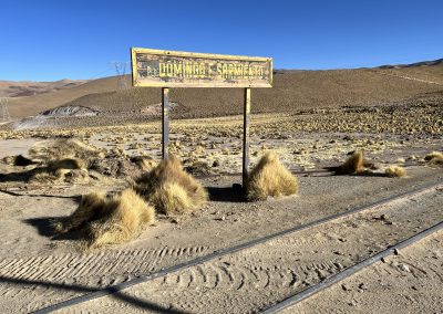
Save Our Signs
-
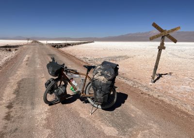
Crossing the Salar de Pocitos (and the railway to Chile)
-
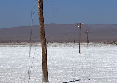
Drunk telegraph poles
-

Nice, flat road without sand or ripio. Hurrah!
-
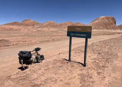
Entering Los Colorados
-

The two-headed, seven-legged vicuna project is on track
-

Strange moonscape
-
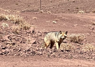
Andean fox
-

Brown lake at pass before Tolar Grande
-
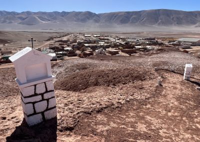
Welcome to Tolar Grande?
-
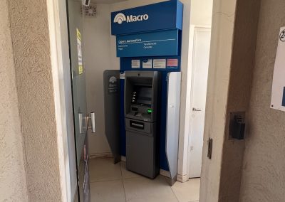
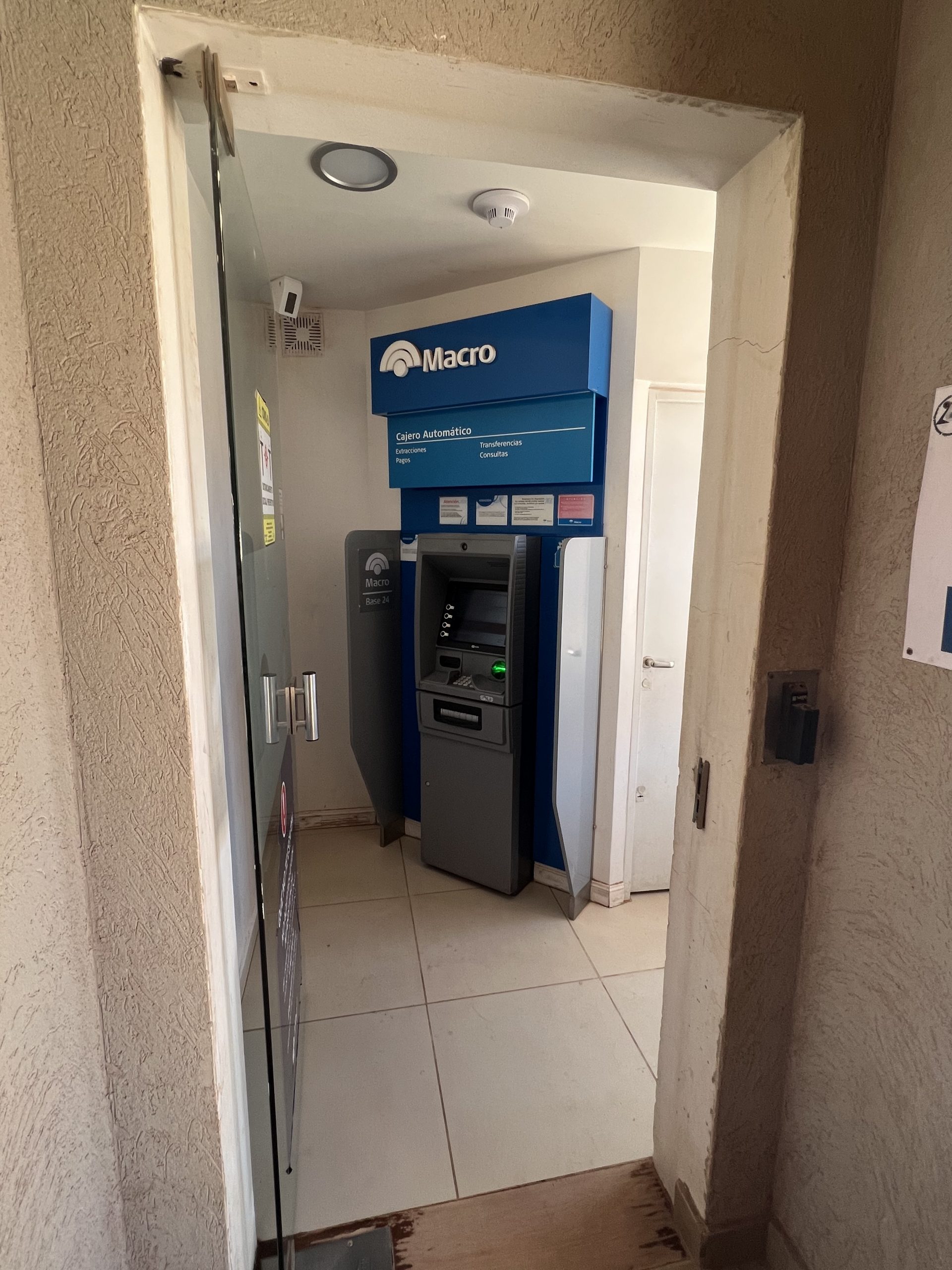
Proof there's at least one ATM in Argentina without a 45 minute queue
-
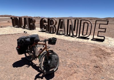
Tolar Grande
-

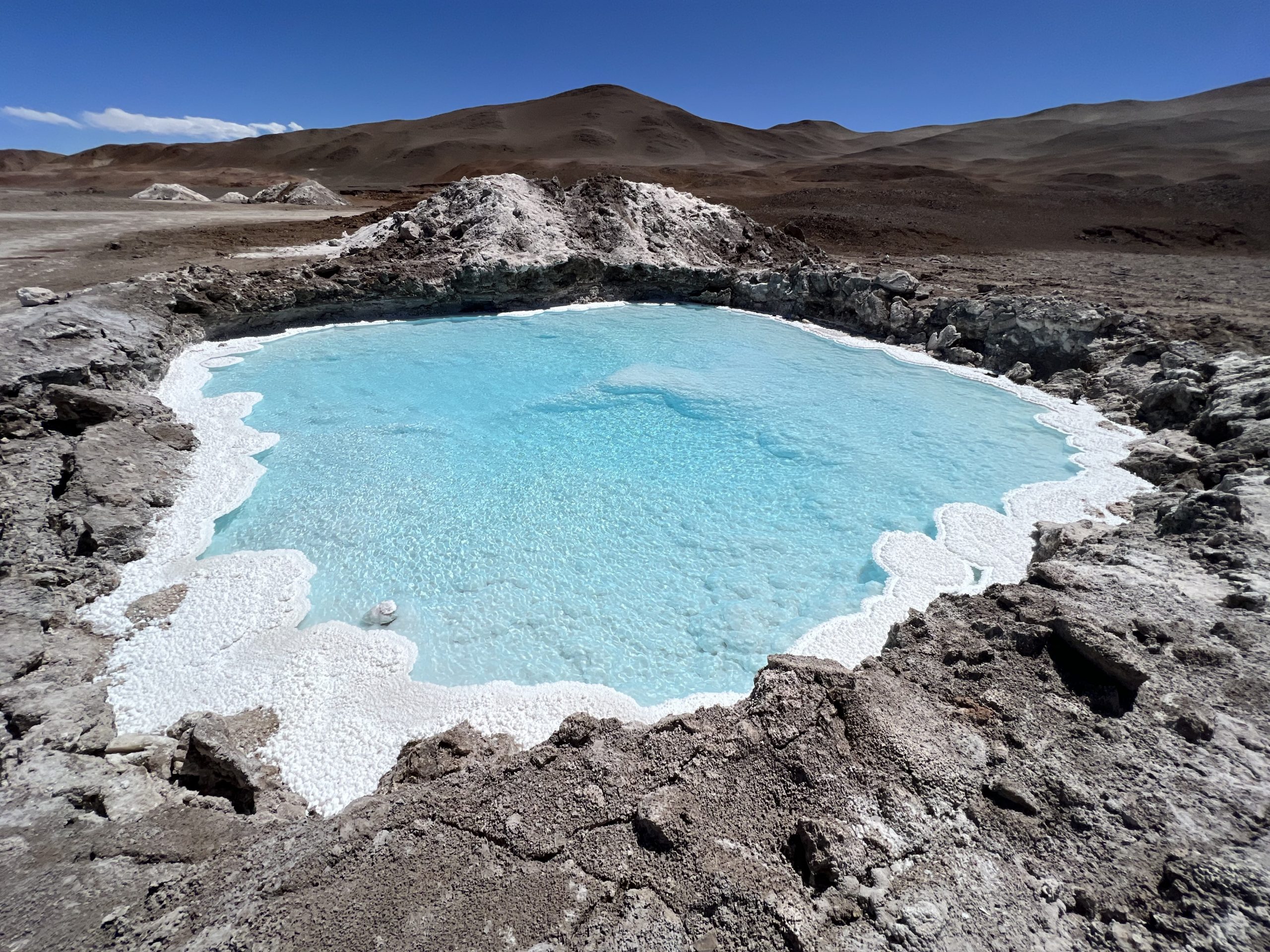
Probably best not to try this plunge pool
-

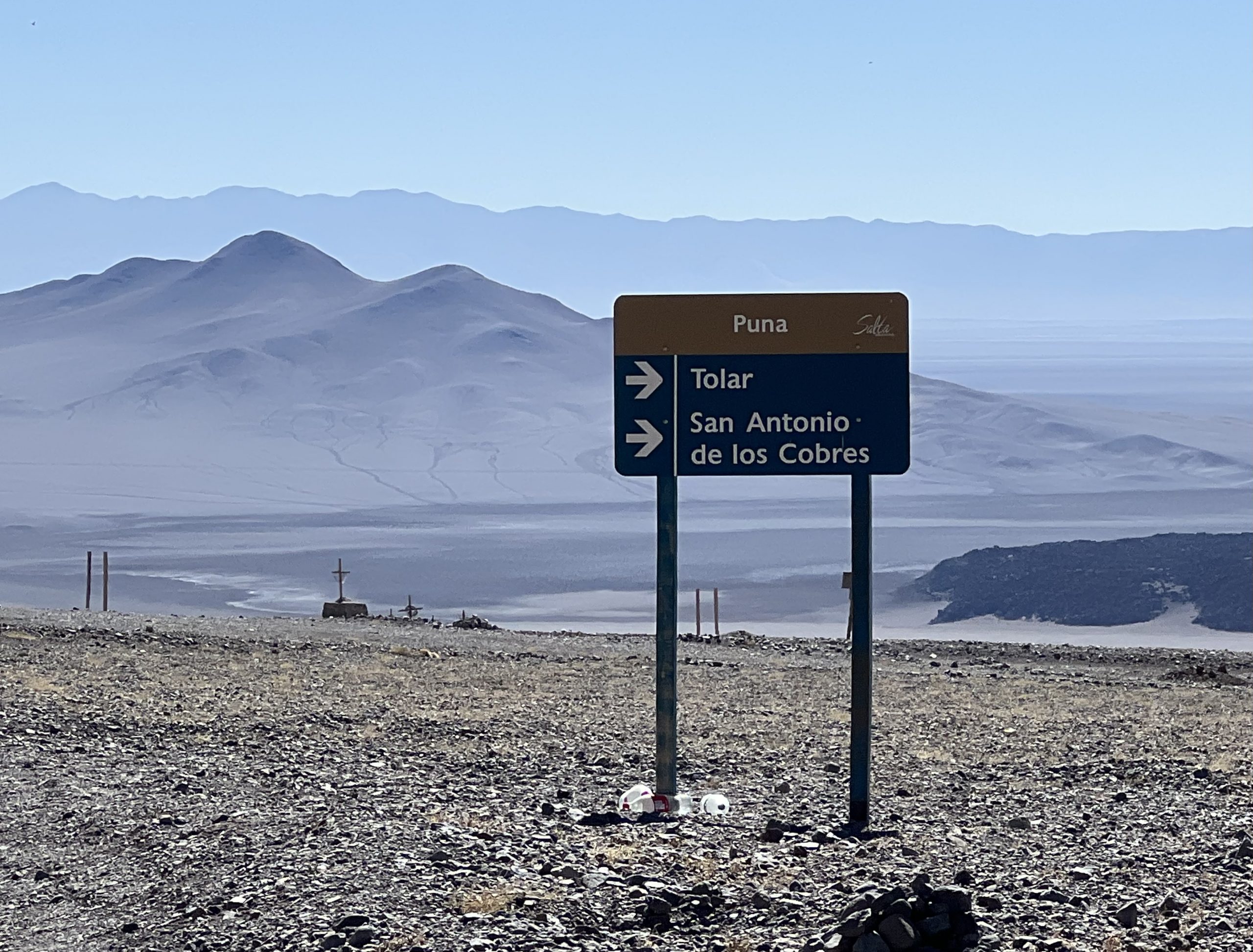
The quality of the roadsigns is first class
-
The Dawn Chorus
-

Goodness knows what the vicunas live on
-

When the wind is blowing use whatever shelter is available
-

Llullaillaco
-
It’s art, innit
-

Gully up to the summit ridge
-
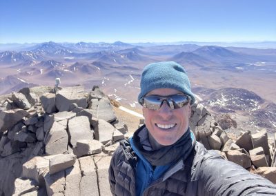
El Cumbre (6,739m)!
-
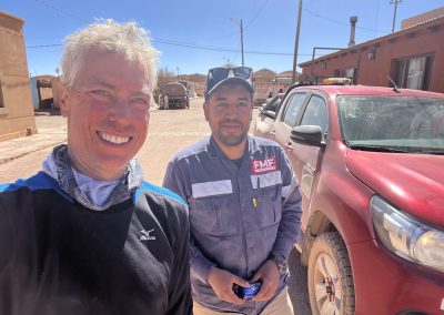
Luxiano offers me a lift and his lunch 🥳